BKB activities of back to home programme
The uproot helpless slum-dwellers are being replaced in healthy environment in their native village from living inhumanly life in Dhaka slums. They will get an opportunity to grow-up their next…

The uproot helpless slum-dwellers are being replaced in healthy environment in their native village from living inhumanly life in Dhaka slums. They will get an opportunity to grow-up their next…
The Council of the Institute of Chartered Accountants of Bangladesh (ICAB) has elected Showkat Hossain FCA as President and Kamrul Abedin FCA, Nasim Anwar FCA and Mr. Dewan Nurul Islam…
For the very first time in Bangladesh, Wi-Fi service will be provided in the whole campus of Bangladesh University of Engineering and Technology (BUET). The service is offered by Base…
prelude- by Guardian Interview by Harun-Al-Rashid “To achieve the desired goal of digital Bangladesh, we are approaching towards a total digital environment in the field of surveying and mapping. We…
What is a map? What is the purpose of it and how does it help us? All these simple questions have a simple answer-Map is an omnipotent guide who interacts…

Map provides over all idea about an area, urban or rural. Maps may be classified according to scale, uses, purposes and others. General map classifications by scale are Large Scale…
Lithographic Printing Office (LPO) is one of the most important units of SOB. It is an industrial production unit and plays a vital role in Map production. SOB prints various…

Survey of Bangladesh (SOB) is the National Mapping Organization (NMO) of Bangladesh. Some of her important functions are Geodetic Control Survey, topographic survey and mapping etc. SOB is committed to…
Photogrammetry is a science that deals with the technique of obtaining reliable information about physical objects and environment through process of recording, measuring and interpreting photographic images. In short, it…

Digital Elevation Model (DEM) has become a widely used tool for scientists and engineers working with natural forces on Earth. DEM provides an impression of the landscape with elevation values;…
 Foreign Tools to Judge Local Sustainability Posted on: Mar 31st, 2023
 Financial Management: A Pride career opportunities Posted on: Mar 30th, 2023
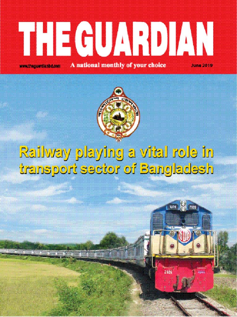
 Railway playing a vital role in transport sector of Bangladesh -Qazi Md. Rafiqul Alam Posted on: Jul 4th, 2019
 FAPAD ensures transparency and accountability of foreign funds in Bangladesh -Zeenat Khan Posted on: Mar 5th, 2019
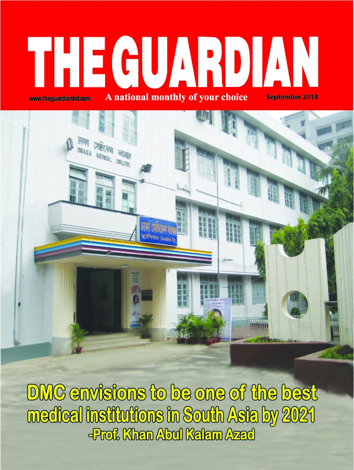
 DMC envisions to be one of the best medical institutions in South Asia by 2021 -Prof. Khan Abul Kalam Azad Posted on: Sep 20th, 2018