
Dr. Paramesh Nandy
Ex. Chief Research Officer
Bangladesh Forest Research Institute
Since the Kyoto Protocol of 1997 to the recently held 22nd Conference of Parties, carbon and its emmission have been emphasized as the global issue and agenda of discussion. But, if you are asked about the carbon stock of your country, it may seem to be harder to answer. The trees standing in front of your house should not be even excluded while measuring the total carbon stock.
Recent information from national and international sources creates a debate on land covers with forests in Bangladesh, as they provide different visual interpretation of land-set images and different landscape indicators. For example, in some survey, national parks are considered as forest covers, but in other survey, they are even excluded from landscape indicators. The main reason of this debate is the different interpretations of scenarios of land covers captured though GPS.
On July 26, 2016, referring to State of the World’s Forest 2016 and FAO Report 2015, The Daily Prothom Alo reports that the forest cover in Bangladesh is 11%. On November 8, 2016, The Daily Prothom Alo also features an article titled ‘Bangladesh contains the lowest forest cover in Asia’, and that article, on the basis of ADB Report 2016, states that there is only 11.2% forest cover in Bangladesh. In one of the seminers at Dhaka, consultants of World Bank who are preparing Master Plan 2030 for the Forestry Sector, share in the social network that the forest coverage identified by Bangladesh National Forest Inventory and Assessment 2007 (NFA 2007) was 11 to 12% which currently increases upto 16.88%.
Bangladesh covers an area of 1,47,570 square kilometers. About 80% of the total land surface is floodplain. Hilly terrain covers 12% of the total area. Overall, 17.49% of total land surface of Bangladesh are now considered as state-owned land to support tree cover. NFA 2007 has divided the total area of Bangladesh into 5 National Land Use Classes (NLUC) of which 56% area has been classified as “Cultivated Land”, 20% as “Village Land”, 14 % as “Inland Water”, 10% as “Forest Land” and less than 1% as “Built-Up Area or Urban Land”.Based on the ground level inventory, NFA 2007 also sub-divided each NLUC into 6 groups viz. No Tree cover (Group-1), less than 5% Tree cover (Group 2), 5 to 10% Tree Cover (Group-3),10 to 30% Tree cover (Group 4), 30 to 70% Tree Cover (Group-5) and more than 70% Tree Cover (Group 6).
It is aparent from the table that out of total 14.76 m ha, almost 7.52 m ha has no tree cover. It means 51% areas of Bangladesh have some kinds of tree covers and roughly 29.3% have very low tree cover (group 2 and 3). NFA 2007 defines forest as land spanning > 0.5 ha with >10% tree cover having trees attaining > 5m in height. Hence, group 4, 5 and 6 of Forest NLUC correspond to the areas under forest cover.
Trees on crop land and trees in agricultural production systems of Cultivated NLUC have been excluded and not considered as forest cover due to its temporary nature of isolated plantation and not covering > 0.5 ha with tree coverage criteria. Village NLUC serves as most productive and major source and supply of forest produces. Unfortunately, most of the homesteads are small in size and varies from 0.002 to 0.435 ha that do not correspond to the criteria of forest covered area i.e > 0.5 ha. However, in large homesteads, covering > 0.5 ha, plantations are found permanent in nature due to less extraction, where > 30% tree cover exists and usually attains > 5m in height. Accordingly, group 5 and 6 of Village NLUC is considered as forest cover. Both Built-up Area (Urban Area) NLUC and Inland Water NLUC have been excluded and not considered as forest cover due to insignificant (below 10%) tree cover area. Thus, the Forest NLUC covers 1344,000 ha and Village NLUC covers 522,000 ha with a total of 1866,000 ha or 12.64% by 2006.
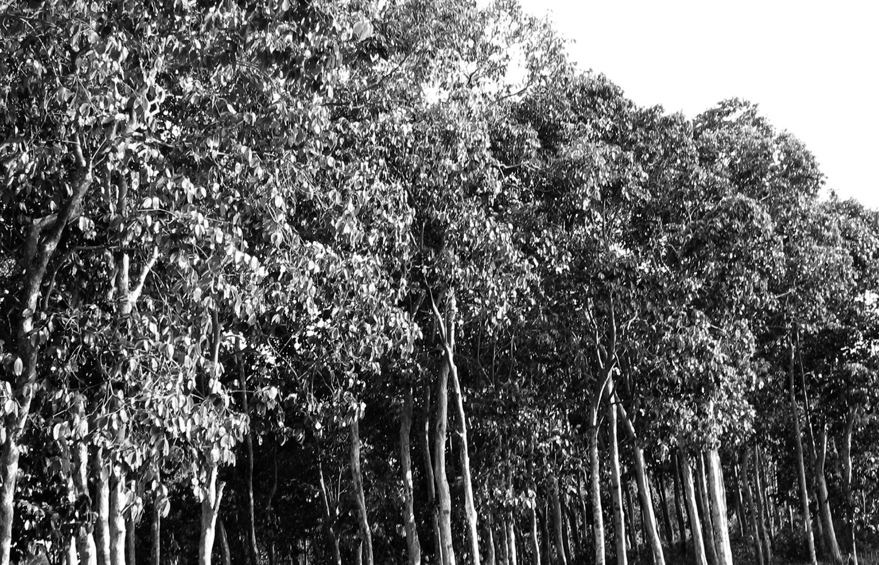
During 2006-2007 to 2011-2012, Forest Department established 88336.4 ha afforestation of which 35758 ha mangrove plantation and 52578.4 ha non-mangrove plantation including strip plantations throughout Bangladesh. This land use change increased the forest coverage up to 1954,336.4 ha by 2012. To be noted that the plantation of 2011-2012 was raised in the planting season and used in the analysis as 5-year old plantation as per NFA 2007. In this regard, there might have another NFA in 2011-12 in order to get real picture for all NLUCs. Considering the annual forest cover loss and deducting a total of 4040 ha, the total forest cover in Bangladesh by 2012 is 1950296.4 ha or 13.22% of the total area of Bangladesh.
Carbon stock in Bangladesh
Echoing Dr. Jörn Scharlemann, who worked at UNEP World Conservation Monitoring Centre in Cambridge, it can be said that “It’s really surprising – we probably still know more about the moon than about soil carbon”. It is because most of the world carbon policies are focused on carbon stored in plants, despite the fact that more carbon is stored in soils than in plants.
The average tree volume, biomass and carbon per hectare established by NFA 2007 for all NLUCs are considered as the basis for current analysis. In this regard, all areas under tree cover (group 2 to group 6) are incorporated. In order to capture the biomass carton of all trees available in Bangladesh. Thus, the total gross tree volume is 189.7 million m3 and the total commercial tree volume is 134.6 million m3 and the total aboveground biomass is 756.81 million tons by 2012. It is globally recognized that the aboveground biomass is 5 to 6 times heavier than the belowground biomass. As such the total belowground biomass is 151.36 million tons by 2012. The same is applicable for the identification of the total aboveground and belowground biomass carbon stock which is 378.98 and 75.80 million tons respectively.
On the other hand, NFA 2007 concluded that the total gross tree volume was 212 million m3 and the commercial volume was 150 million m3 in 2006. Similarly, total aboveground biomass was recorded 846.0 million tons and the total aboveground carbon stock was 423.0 million tons in 2006 which significantly differ from the findings currently identified for 2012. This is associated with the inclusion of non-tree covered area (7515,000 ha of 1roup 1) in calculating tree volume, biomass and carbon by NFA 2007. Probably, NFA 2007 mistakenly added these area with an assumption of containing soil carbon in these land, but it is an another aspect of inventory which has been provided below. However, it is a matter of great surprise that these erroneous findings of a multi-million doller national assessment have been detected after a decade of its publication.
For the first time, “Carbon Sequestration in Soils of Bangladesh” was conducted by Bangladesh Agricultural Research Institute (BARC) during 2010-2013 in all 30 Agro Ecological Zones (AEZs) by distributing 10 AEZs proportionately to Bangladesh Rice Research Institute (BRRI), Bangladesh Institute of Nuclear Agriculture (BINA) and Bangabandhu Sheikh Mujibur Rahman Agricultural University (BSMRAU) which serves as the evidences for quantifying soil carbon stocks in Bangladesh.
In analysing total belowground carbon stock, 30 AEZs have been divided into 4 groups depending on their Carbon Storage Capacity (CSC) per unit area. These are 1roup 1 with CSC >20 t/ha; 1roup 2 with CSC 15-20 t/ha; 1roup 3 with CSC 10-15 t/ha and 1roup 4 with CSC <10 t/ha. 1roup 1 comprises 10 AEZs which covers 6847,400 ha (47.3%) and contains 192.48 million tons; 1roup 2 comprises 7 AEZs which covers 2959,900 ha (20.4%) and contains 83.20
million tons; 1roup 3 comprises 7 AEZs which covers 3546,300 ha (24.5%) and contains 99.69 million tons of soil carbon. The remaining 6 AEZs of 1roup 4 covers 1135,300 ha (7.8%) and contains 31.91 million tons of soil carbon. It has been established that the total soil carbon stock is 407.28 million tons in 144,88,900 ha of all AEZ areas which is 98.18% of the total area of Bangladesh. Thus, the total carbon stock in belowground soil and in belowground biomass is 483.08 million tons by 2012.
Conclusion and recommendations
Based on the latest ground level inventory of two national assessments, we can reach to the conclusion that the total carbon stock in Bangladesh is 862.06 million tons of which aboveground biomass carbon is 378.98 million tons.
Accurate knowledge about soil carbon stock is important because it contributes to worsening of atmospheric level of Green House Gas when land-use is changed, degraded or deforested.
We are heading towards digital Bangladesh. Moreover, a number of reports projecting climate change aspects are to be placed at international platform as demanded on a regular basis. It is time to keep updated the website of every ministry and department. There should be regular ground level inventory and national assessment of natural resources which will serve as the foundation of national reporting on these aspects. Conducting field level survey on natural resources of Bangladesh through regular interval has emerged as a demand of present time. Collaborative initiative is recommended to achieve the complete and clear picture of available natural resources as the sporadic assessment by different organizations sometimes mislead the nation.
The writer Dr. Paramesh Nandy previously worked for Bangladesh Forest Research Institute (BFRI) as Chief Research Officer. He was the recipient of Earth Care Award (ECA) 2012 and People’s Choice Award (PCA) 2013